Photos and sources
Who took the photos, and where the maps and figures come from. Huset’s own photos carry no name on the pages. Photos by others are credited beside the photo and here.
Photos
Others took 3 of the photos, which are used under the licence given for each and cropped to fit the pages. The rest are Huset’s own.
| Photo | Caption | Photographer | Licence | Source |
|---|---|---|---|---|
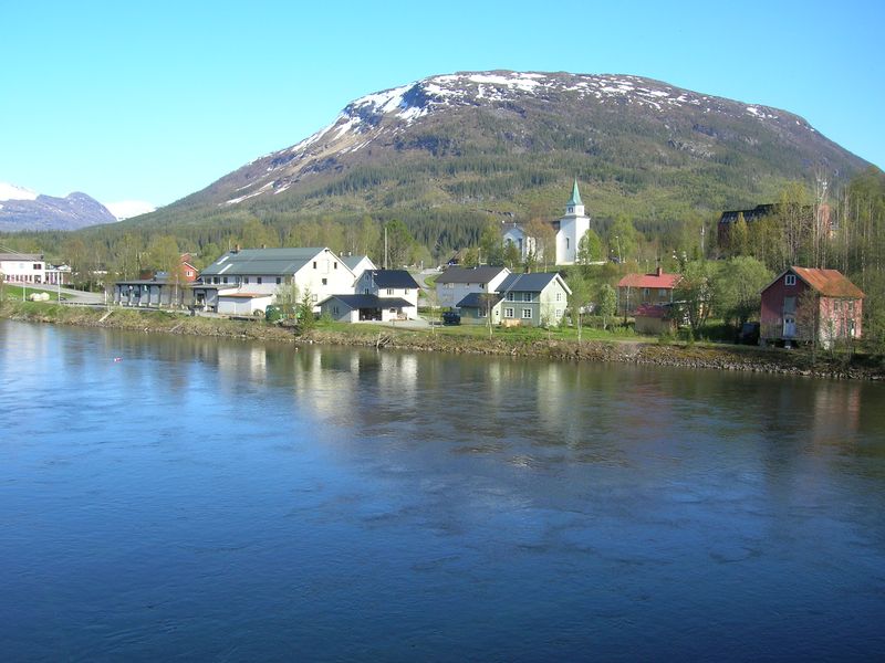 | Korgen’s centre from the Røssåga river | Magne Tor Ingvald Aga | CC BY-SA 4.0 | Wikimedia Commons |
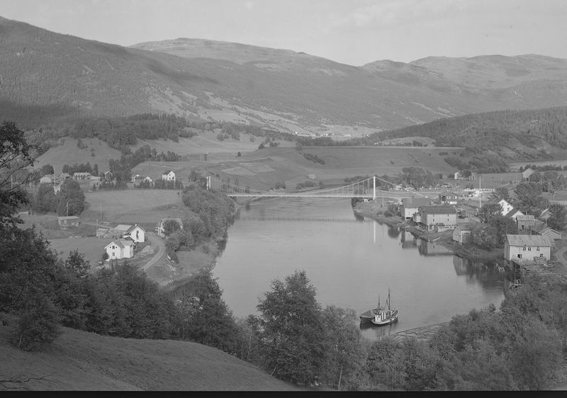 | Korgen and the Røssåga river | Unknown photographer, National Library of Norway | Public domain | Wikimedia Commons |
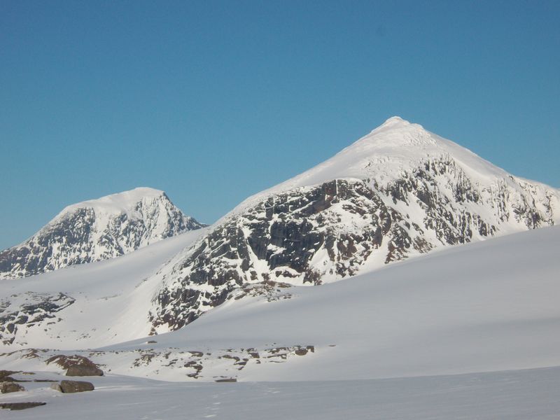 | Oksskolten and Okstinden | Chriserikhaugli | CC BY 3.0 | Wikimedia Commons |
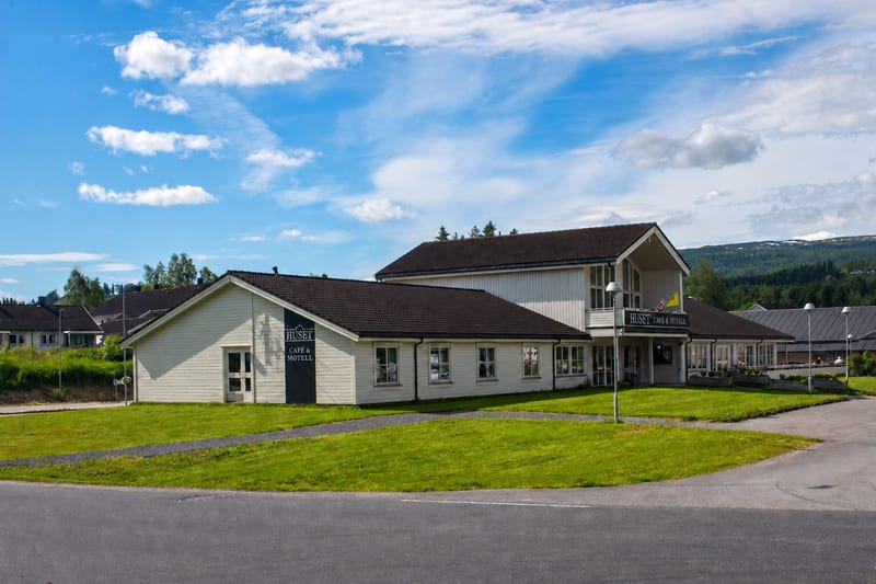 | Huset by the E6 in KorgenAI-retouched: the flagpole and the signs in front of the building have been removed, and the colours have been strengthened. | Huset Café & Motell | Huset’s own photo | Huset |
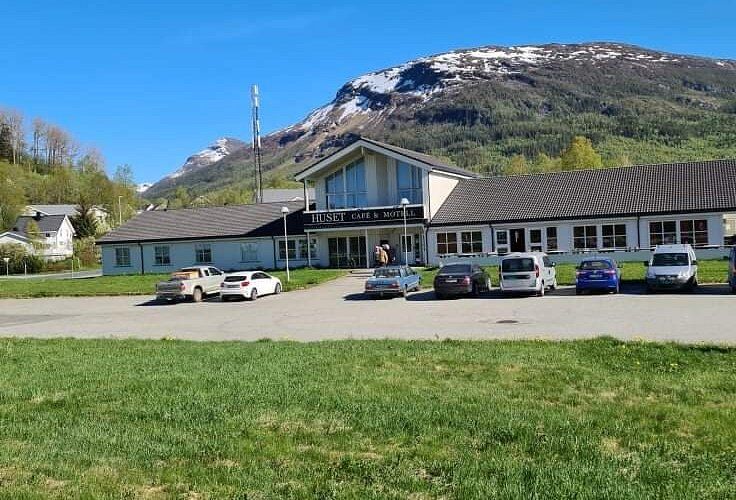 | Huset below the mountain | Huset Café & Motell | Huset’s own photo | Huset |
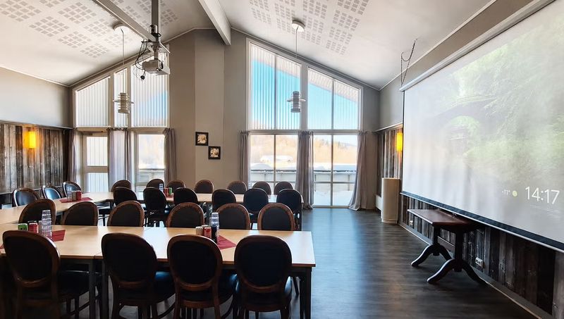 | The large meeting room | Huset Café & Motell | Huset’s own photo | Huset |
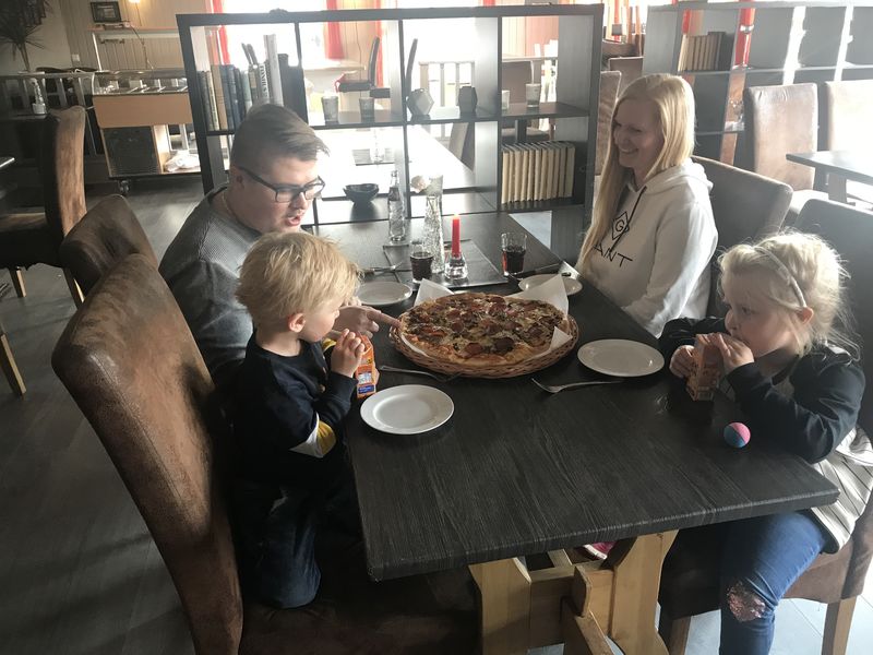 | Pizza night in the dining room | Huset Café & Motell | Huset’s own photo | Huset |
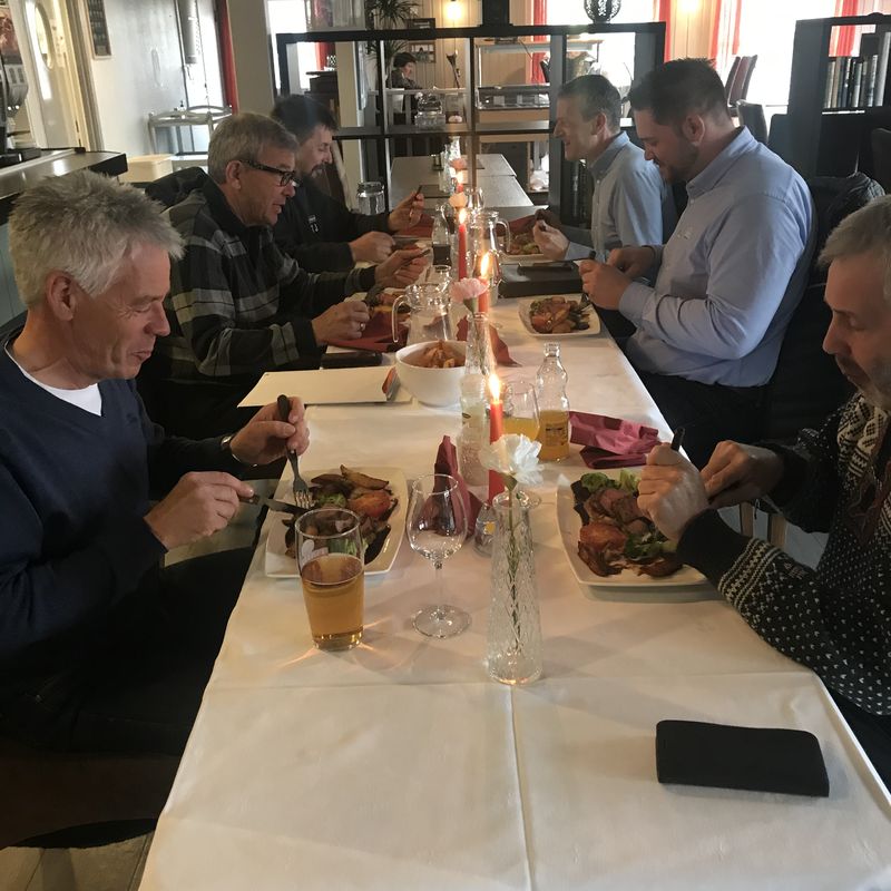 | A party at the long table | Huset Café & Motell | Huset’s own photo | Huset |
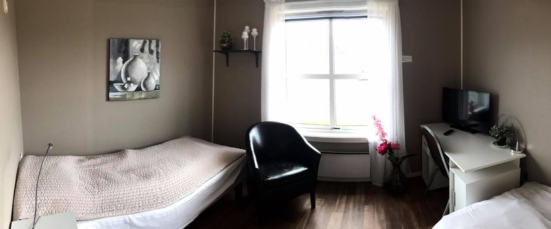 | A room with a desk | Huset Café & Motell | Huset’s own photo | Huset |
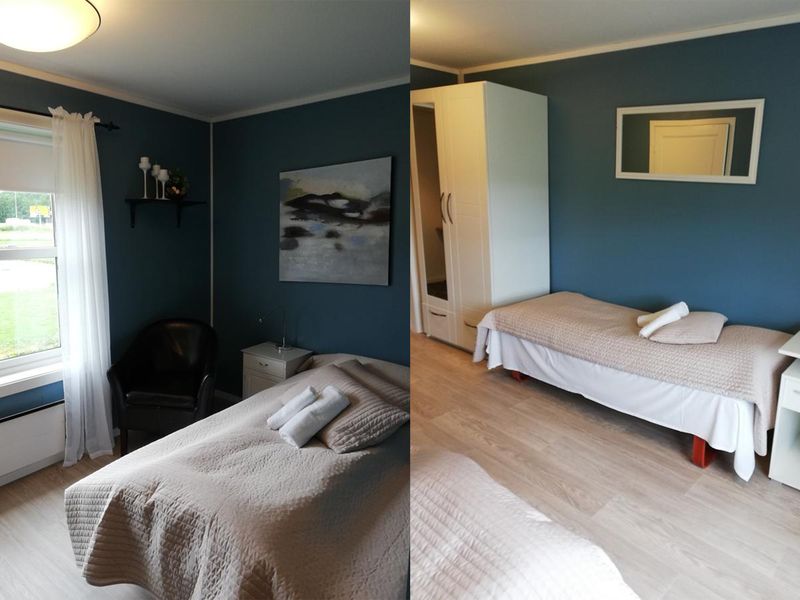 | Two of the rooms | Huset Café & Motell | Huset’s own photo | Huset |
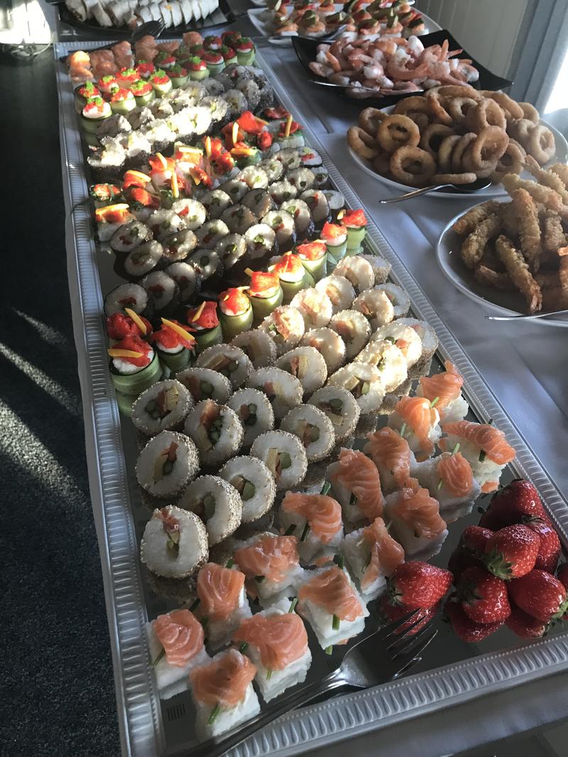 | A sushi table at Huset | Huset Café & Motell | Huset’s own photo | Huset |
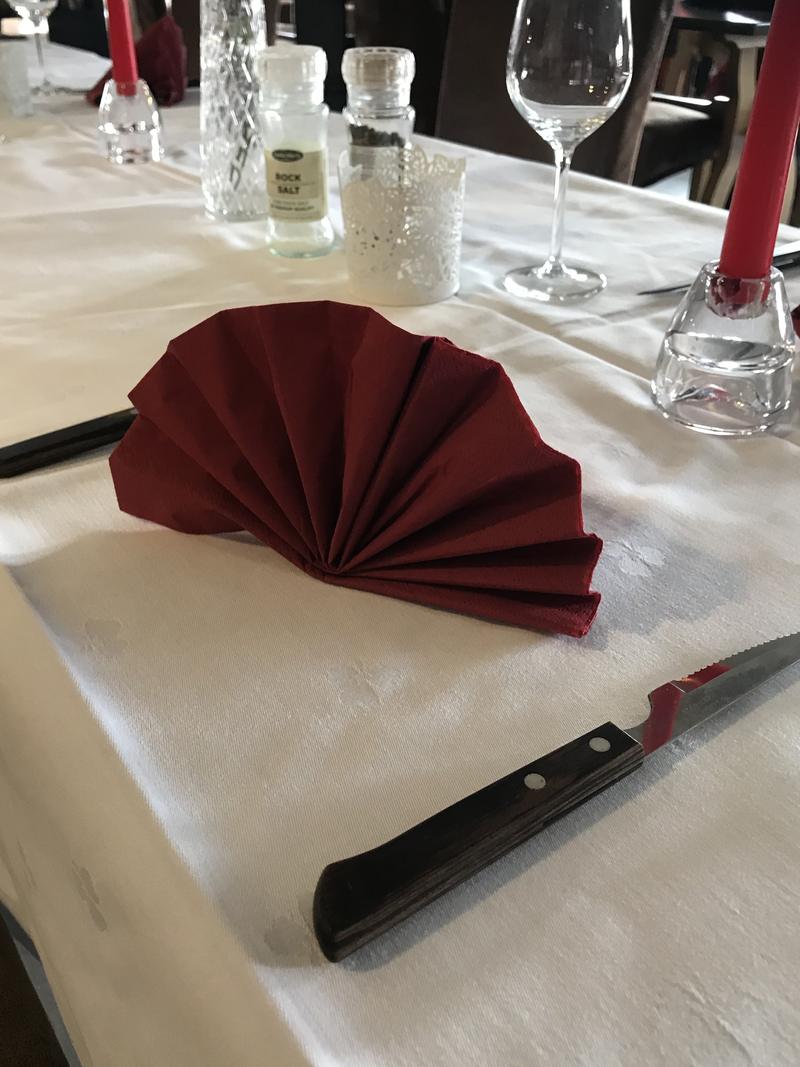 | Laid for dinner | Huset Café & Motell | Huset’s own photo | Huset |
 | A sushi platter from the kitchen | Huset Café & Motell | Huset’s own photo | Huset |
 | Huset’s logo, at the foot of every page | Huset Café & Motell | Huset’s own mark | Huset |


Maps and other sources
- The mountain line that runs through the pages is traced from the photograph “Korgen’s centre from the Røssåga river” by Magne Tor Ingvald Aga (CC BY-SA 4.0).
- The address and map point, Meieriveien 7, 8646 Korgen: the Norwegian Mapping Authority’s address register (Matrikkelen, CC BY 4.0). Olderneset is the built-up area the address lies in.
- Directions end at the car park between the building and the E6. The point is taken from OpenStreetMap (© OpenStreetMap contributors, ODbL). The button opens Google Maps, Apple Maps, Waze or your phone’s own map app. The site never asks for your location.
- The map at the foot of the home page: map data © OpenStreetMap contributors (ODbL), map tiles from OpenFreeMap on the OpenMapTiles schema (CC BY 4.0). The map style is Huset’s own, adapted from Positron (CC BY 4.0), which builds on CARTO’s basemaps. Place names on the map are set in Noto (SIL Open Font License), and the map is drawn with MapLibre GL JS. When the map loads, your browser fetches it directly from OpenFreeMap (see privacy).
- The map in “Where Korgen is”: coastline and borders from Natural Earth (public domain). The road, distances and driving times are calculated with OSRM on OpenStreetMap data (© OpenStreetMap contributors, ODbL) and rounded. The height profile is based on elevation data from the Norwegian Mapping Authority (CC BY 4.0); the tunnels are dashed between their portals.
- Fonts: Brygada 1918 and Ysabeau Office, both under the SIL Open Font License.